Insight From Imagery
Universal Image Platform
Seamlessly integrate aerial, satellite, and ground-based imagery
AI-Powered Analysis
Advanced artificial intelligence to make your data collection and analysis workflows faster and simpler
Streamlined Workflows
Reduce field time from weeks to days and days to hours”
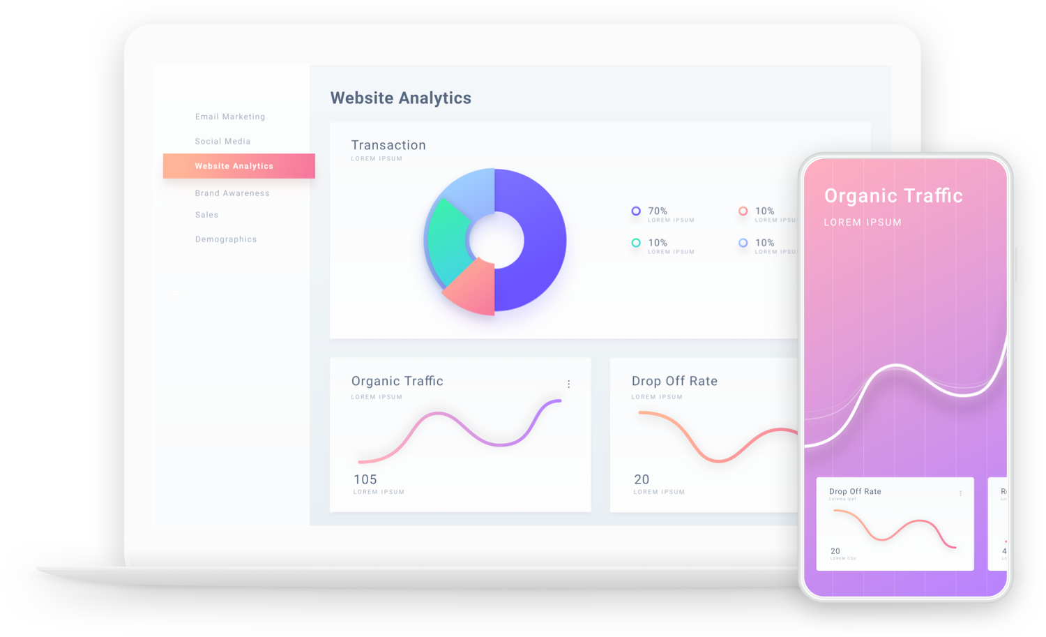
SaaS Platform
Comprehensive drone data management and analysis
Drone Training
Part 107 prep and mapping training for workforce development
Educational Programs
STEM workshops and drone-based learning for K-12
Mapping Services
Precision aerial mapping for conservation, AEC, research, and other industries
Media Production
Professional videography and photography
START YOUR QUANTUM AERIAL JOURNEY
Schedule a free demo to discover how Quantum Aerial
can transform your operations.
Success Stories
")
UAVistas stands out not only for the quality of its content but for its commitment to inspiring the next generation of innovators. If you’re looking for a partner to introduce youth to STEM in a way that’s meaningful, modern, and memorable, UAVistas is the team to call.
Working with India was a great experience!! Very knowledgeable, and professional.
")
Thanks for making yourself available to take the pictures for us. We are using all footage for promotional purposes, and marketing for the general public and potential funders.